Neal Technology GPS Mapping Services
-
GPS Field Mapping & Inventory
-
Data Conversion
-
Work Order Posting
GPS Mapping Services
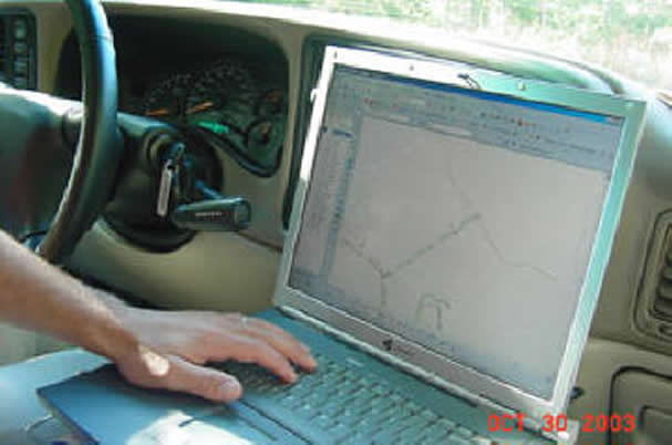
The system utilizes specialized software and off-the-shelf GPS hardware to GPS locate features and in "real time" populate a geodatabase in ESRI's ArcGIS platform.
Utilizing the ability to collect the data "real time" reduces the chances of data errors that can occur when field data is converted into a GIS or CAD system.
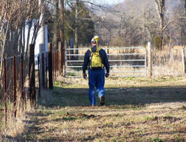
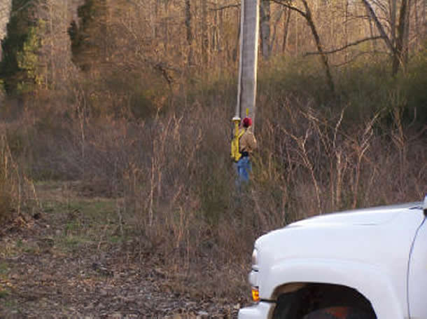
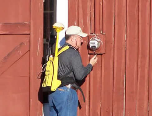
Two Way Backpack System
By using a two-way backpack system we visit every location to gather the required information at each gps point. In the situation that a location is inaccessible due to foliage or other reasons we have the survey gear to provide a sub meter gps location at that point.
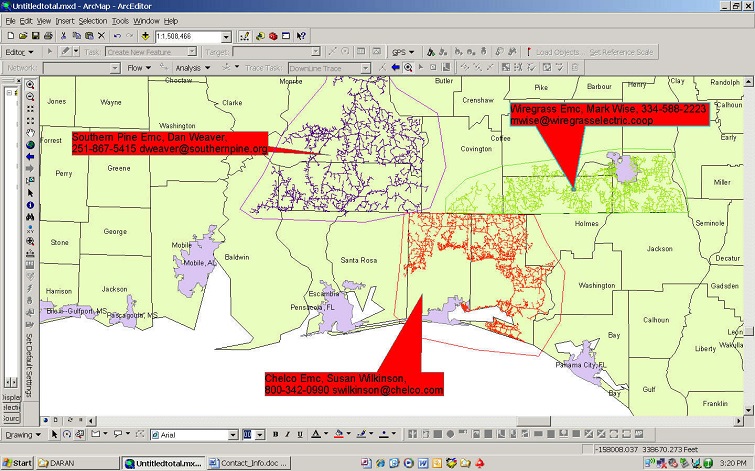
GPS Mapping Service Clients
Irwin Emc, Renee Richardson
800-237-3745
rrichardson@irwinemc.com
Chelco Emc, Susan Wilkinson
800-342-0990
swilkinson@chelco.com
P&D Engineers, J.B.Franklin
770-453-1410
jbfranklin@pd-engineers.com
Futura Gis, Doug Malinowski
678-906-2575
DougM@futuragis.com
Holston Emc, John Long
423-272-8821
jlong@holstonelectric.com
Southern Pine Emc, Dan Weaver
251-867-5415
dweaver@southernpine.org
Fort Payne Improvement Authority
Danny Brisendine
256-845-0671
Wiregrass Emc, Mark Wise
334-588-2223
mwise@wiregrasselectric.coop
Meter Verification
We also take a copy of the clients billing database to the field to verify the meters in the field match the database in the office.